Whether you’re interested in an associate’s degree, a bachelor’s degree, a certificate in your field, transferring to a four-year university, or you just want to take some classes for your own personal satisfaction, Mesa Community College has a program to suit your career goals.
You can discover majors and in-demand careers based on your interests by using Career Coach. Career Coach offers quick career assessments to help you find what you want in a future job, which can help guide your educational journey.


Fields of Interest
Maricopa Community Colleges has organized the following Fields of Interest to help you clarify which career path you are interested in pursuing. Simply select a Field of Interest to explore the degree and certificate options available in your chosen field. Every Field of Interest represents a community of students, faculty, and staff who will give you the information, assistance, and encouragement you need to find success.

Learn how to design, develop, or repair high-tech equipment and processes while getting hands-on, on-the-job experience.

Help people, serve your community, and improve the lives of those in need with a rewarding career in healthcare, counseling, and more.

We’ve designed our Business, Entrepreneurialism, and Management pathway to give you the skills you need to be an economic and social leader.

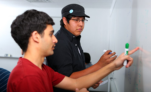
Get the knowledge and real-world experience you need to excel in gaming, programming, tech support, web design, and more.

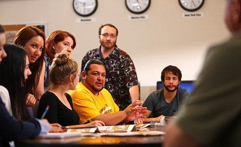
Tackle complex global issues in a wide range of fulfilling career fields, from communication and sociology to history, economics, and beyond.

If you love learning and want to help students reach their potential, start your career as a teacher, instructional designer, administrator, and more.

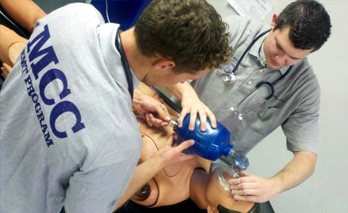
Help people live better, safer, healthier lives when you pursue a career as a nurse, EMT, physical therapist, personal trainer, and more.

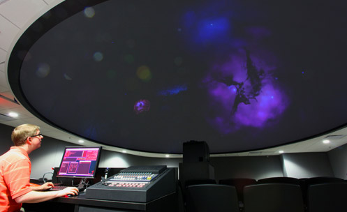
Creatively solve problems and explore new frontiers with a challenging STEM career.

Unleash your creativity while honing your craft as you pursue a career in visual art, design, dance, music, fashion, film, or theater.